Aerial
Photos of Historic Sites Using Drones
Donald
A. Windsor
Historic
sites are often overgrown and difficult to find. Sometimes a few
stone structures remain, but other features may be obscured. A
birds-eye view is a great way to visualize an entire area.
Drones
are currently being used for many applications, but this one may be
the first used for exploring a historical site in Chenango County.
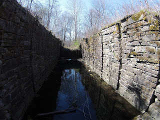
On April 25, 2016, David G. Francis used his drone to photograph our Chenango Canal
Lock 99.
Here
he is, standing downstream of the lock, flying the drone
photographing him.
Here is his photo of Chenango Canal Lock 99.
===

